GeoCam (N3230,N6600,N6260,N6620,N6670,N7610) 1.7
GeoCam (N3230,N6600,N6260,N6620,N6670,N7610) Publisher's Description
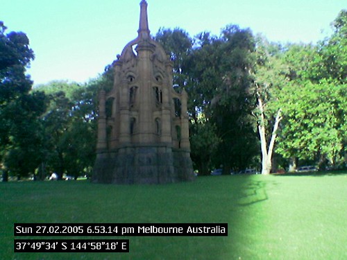
GeoCam allows you to time and location stamp your camera phone photos. GeoCam works with and without a Bluetooth GPS. If you have a GPS, latitude, longitude and altitude will be stamped besides the telco provided place name and country. If you do not have a GPS the place name and country will be printed on the photo.
GeoCam features:
-
Date and Time Stamp
Date Time format follows phone settings. -
Location Stamp
GeoCam knows your place name and country without GPS. -
GPS Information
Multiformat options of Latitude, Longitude and Altitude. -
Comments
User can input Comments and print on the photos -
G,C,CO,2D and 3D Sign Display
These signs are displayed on Camera View and help you what information GeoCam has at that moment. See some photo examples below. C blinks when the Cell (Place Name) is not available, C stops blinking when the Cell is available, it is available faster (within minutes) when the phone is outdoor or in motion, CO indicates whether the user comments will be printed, G blinks when the GPS data is invalid or in searching mode, 3D is displayed when latitude, longitude and altitude available or 2D when only latitude and longitude. -
Background Option
The text printed on photos can be with or without black background, This helps when the photo and the text color are not contrast enough. -
Rectangle Signs
These signs are displayed on Camera View at the bottom and help you know which part of the photo will be covered with the text. -
Other Standard Features
Backlight Management, Image Quality Options, Night Mode, Saving Option (Phone Memory or Memory Card), Image Name, Zoom, Online Help.
GeoCam has many uses:
-
Leisure
Outdoor gaming - treasure hunting. -
Travel
When you stop and snap along a highway, railway or on some remote mountain track, years later, the photo will remind you or take somebody else to the same location. Good for archival purposes -
Business
MMS site location details for feasibility study in construction, survey, city planning, agricliture, parklands upkeep etc. -
Science
Accurately record and picture archeology and historical sites. Use GeoCam for documenting trees and plants for botanical studies and environment tracking. -
Weather
Record lighting, snowfall, river flow, tidal waves. -
Other
Record car crashes, accident sites ,UFO sightings, crop circles or any other accidental or rare phenomenon. -
We will leave other uses to your creative imagination.
Value add the visual content of a photo with WHEN and WHERE details.
Some Photos taken with full version GeoCam (Nokia 6600):
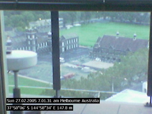
- Photo with full stamp (date, time, place, country, latitude, longitude and altitude) taken when the sign was 3D
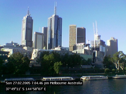
- Another Photo (note altitude missing)
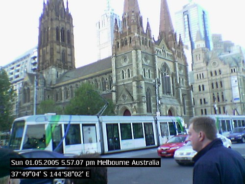
- A record in time and space
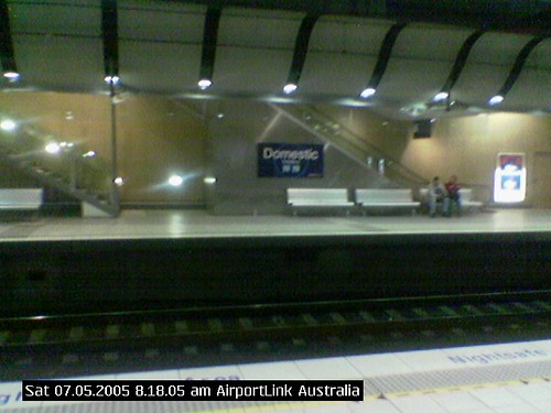
- You may not require a GPS always
- Life is a treasure hunt game - come to think of it ...
Look for Similar Items by Category
Feedback
- If you need help or have a question, contact us
- Would you like to update this product info?
- Is there any feedback you would like to provide? Click here
Popular Downloads
-
 Zapya for iPhone
4.1.0
-
 WinRAR
6.00 build...
-
 Qeep
2.6.1
-
 iOS
5
iOS
5
-
 SugarSync
3.0.2
-
 hide.me VPN for Android
2.5.7
- Castle Of Magic 1.0.4
-
 Fast VPN
1.0.1
-
 Face The Racers : Street Racing
1.0
-
 Halloween Escape Games 2016
1.2
-
 Special Elite Commando 2016
1.0
-
 OKmusi
4.2.2
- Arabic-English & English-Arabic... 5.0
-
 Winamp
1.4.15
-
 ooVoo
for iPhone...
-
 TextNow - Unlimited Free Texting...
4.4.10
-
 4 Qul Sharif Quran
2
-
 MxSpy phone spy app
8.10
-
 GOIS
1.0.1
-
 Xmodgames
1.2.1